Geodetic Projection
 Demonstrates how to use the SoGeoProjection node to display shapes with a cartographic projection.
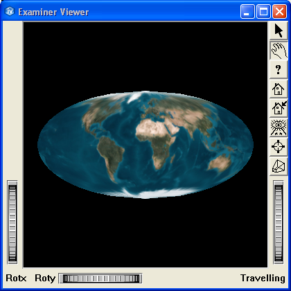
In this example, an instance of SoGeoProjection is used to display an SoQuadMesh using a cartographic projection.
FILES:
- Inventor/examples/Features/Projection/GeodeticProjection/GeodeticProjection.cxx
SEE ALSO
SCREENSHOT: